
Longleaf Pine Maps
Longleaf Pine Interactive Decision Support Tool on NC Forest Atlas
The Longleaf Pine Interactive Decision Support Tool (LIDST) is a web-based GIS tool developed through a partnership between the North Carolina Forest Service, the South Carolina Forestry Commission, and the Virginia Department of Forestry through the Atlantic Coast Longleaf Initiative. The purpose of the LIDST is to bring together the best available geographic information related to longleaf pine restoration and conservation in North Carolina, South Carolina, and Virginia and make that information available to all.
Longleaf pine forests were once widespread within NC, SC, and VA, but the acreage of this forest community has since become greatly diminished and fragmented. The LIDST can be used to identify opportunities to restore landscape level connectivity of longleaf forests through identifying and visualizing where longleaf forests still occur, where current conservation lands occur, and where high priority conservation areas occur. Additionally, it can be used to get an idea of the potential of longleaf restoration in areas based on physical land characteristics such as soils and hydrology.
Visit the Longleaf Pine Interactive Decision Support Tool.
See the User Guide for more information about how to use and interpret the LIDST
As more information is gathered and updated, the LIDST will continue to be improved. We appreciate any feedback you may have.
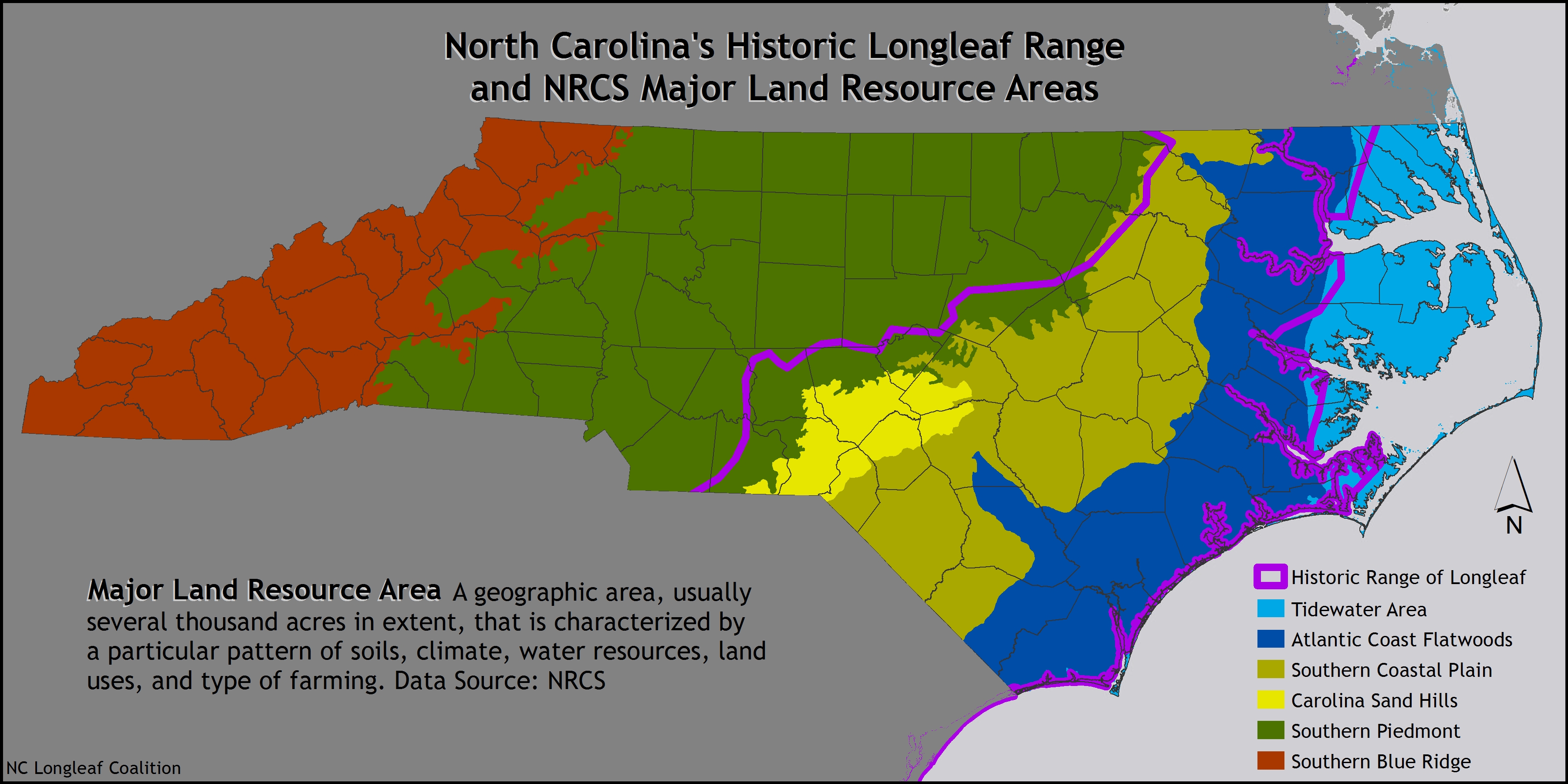
- North Carolina Longleaf Range and NRCS Major Land Resource Areas
- South Atlantic LCC Conservation Planning Atlas
- NCDA&CS Emergency Programs Multi-Hazard Threat Database
- NC Forest Atlas